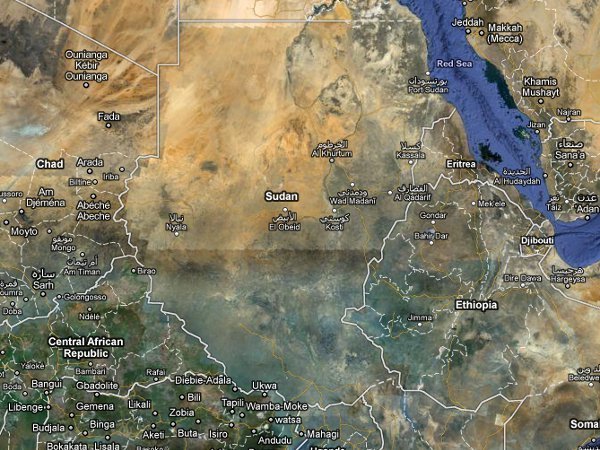

Following the January referendum in Sudan in January, in which nearly 99% of voters voted in favor of independence, Google announced Thursday that it is gearing up to map the world’s newest country: The Republic of South Sudan, which is expected to take shape later this year.
Google is teaming with the World Bank, Sudan Institute, Voices for Sudan, The Enough Project and other organizations—as well as 70 members of the Sudanese Diaspora—to map South Sudan. The region is large but under-mapped, and the effort is intended to point out important markers like hospitals, roads, and schools, which will aide humanitarian workers as they mobilize their resources, equipment, and personnel.
To get things rolling, Google has published updated satellite imagery of the region to Google Earth, covering 125,000 square kilometers and 40% of the UN’s priority areas. Google Maps is now calling on members of the Sudanese Diaspora and others who have lived and worked in the area to contribute their local knowledge of the region.
“Our hope is that this event and others like it will help build a self-sufficient mapping community that will contribute their local expertise and remain engaged in Sudan over time,” wrote Google Program Manager France Lamy in a blog post.
The project will be an ongoing effort and as edits are made and approved, they’ll be published on Google Earth.
Google Maps has been intimately involved in the Sudanese struggle since December, when it teamed up with the UN, Harvard University, and an organization called Not on Our Watch (co-founded by George Clooney) to launch a project called The Satellite Sentinel Project, which uses satellites to monitor Sudan and thereby prevent war crimes from happening. The project was launched in the weeks leading up to the referendum—which was expected to get bloody.
The Satellite Sentinel Project uses satellites to capture images that the UN and the Harvard Humanitarian Initiative study for evidence of state-sponsored violence, such as mass movements of people, village destruction, and other indications of violence. In March, satellite imagery revealed that northern-aligned military forces had destroyed three villages in Abyei, a hotly contested region that is at the center of a debate over whether it will be part of Northern Sudan or Southern Sudan. In April, images published on the Satellite Sentinel website revealed a buildup of helicopter gunships and tanks placed strategically within striking distance of Abyei.
“The southern forces would likely be overrun if the Government of Sudan and its allied militias attack,” Enough Project co-founder John Prendergrast urged in a press release. “Since the rains will turn Abyei into a mud field by May, this month is a window for heavy military action. Therefore, a diplomatic surge must be deployed to avert a resumption of full-scale war.”


